
Walking is one of the best things about staying in Bournemouth. The geography (7 miles of coastline with clifftop paths above, the chines cutting down through the cliffs, and an inland garden corridor running parallel to the sea) means you can walk for hours in different directions from almost any central apartment without retracing your steps.
We walk these routes regularly: checking in on properties, walking guests between apartments, exploring the area in different seasons. The information below on distances, surfaces, and difficulty is based on having walked each route ourselves rather than reading it from a map.
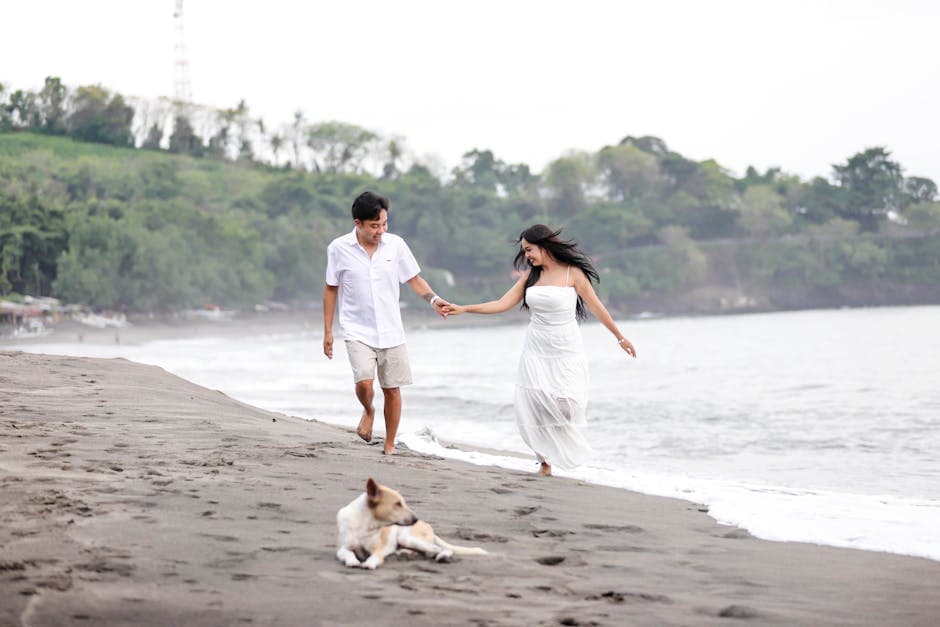
Bournemouth's seafront promenade stretches approximately 7 miles from Sandbanks in the west to Hengistbury Head in the east and is fully accessible at promenade level with a flat, paved surface throughout.
What are the best walks you can do from central Bournemouth?
Walk 1: Bournemouth Pier to Boscombe promenade
Distance: 2 miles one way (4 miles return) Time: 45 minutes one way at a relaxed pace Difficulty: Easy Surface: Paved promenade, flat throughout Pushchair/wheelchair: Fully accessible Start point: Bournemouth Pier, BH1 2BU
The flat promenade walk east from Bournemouth Pier to Boscombe is the most accessible longer walk in Bournemouth. You follow the seafront path, wide and paved, with the sea on your left and the beach below, for the full 2 miles. The route passes under the East Cliff, past the Boscombe surf reef marker buoys, and arrives at Boscombe's small pier.
Highlights along the route: the view up to the Russell-Cotes Museum perched on the clifftop, the transition from the busy pier-area beach to the increasingly spacious Boscombe section, and the surf conditions at the reef if there is any swell running.
Return options: walk back the same way, take the Yellow Bus along the seafront (route 1a/1b), or continue to Southbourne and loop back by cliff path for a longer circular route.
Best time: morning, when the promenade is at its quietest and the light is strongest from the east.
Walk 2: Bournemouth Gardens full walk (Seafront to Coy Pond)
Distance: 2 miles one way Time: 45–60 minutes, allowing for stops Difficulty: Easy Surface: Paved paths, mostly flat with a gentle gradient inland Pushchair/wheelchair: Mostly accessible (some steps avoidable via alternative paths) Start point: Lower Gardens entrance near Bournemouth Pier approach, BH2 5AA Finish point (or turnaround): Coy Pond, Bournemouth, BH9 1JY
The full Bournemouth Gardens walk follows the Bourne Stream inland through three distinct garden sections. The Lower Gardens, nearest the sea, are the most formal: clipped hedges, bandstand, aviary, flower beds in season. The Central Gardens are slightly wilder and wider. The Upper Gardens at the inland end have more naturalistic planting and a calmer atmosphere.
The full walk from the seafront to Coy Pond covers nearly 2 miles and takes 45–60 minutes. Most visitors explore only the Lower Gardens and miss the best of the route. Push on to the Upper Gardens at minimum. The transition from formal seaside park to something approaching a proper woodland garden is genuinely pleasant.
Coy Pond itself (a small lake at the top of the gardens) is a peaceful end point and a natural turnaround for the return walk. Ducks, moorhens, and occasional kingfishers are present.
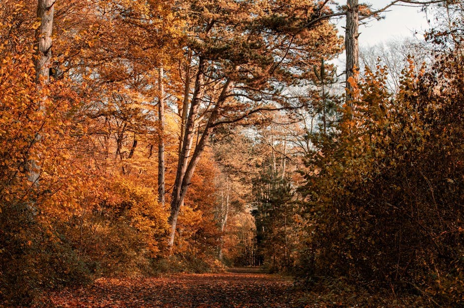
Walk 3: West Cliff zig-zag and chine walk
Distance: 1.5–2 miles circular Time: 45 minutes Difficulty: Moderate (steep sections in the chines) Surface: Paved clifftop path, steep gravel/earth chine descents Pushchair/wheelchair: Clifftop section accessible; chine descents are not Start point: West Cliff clifftop near the West Cliff Lift, BH2 5EF
This short circular walk uses the West Cliff clifftop path, descends into Durley Chine to the beach, walks east along the beach or promenade, then returns to the cliff top via the West Cliff zig-zag path. The elevation change is 30–40 metres each way, modest but noticeable after a day at the beach.
The clifftop section gives exceptional sea views. Durley Chine itself is one of the better-maintained chines, with dense vegetation and a stream bed visible through the trees. The West Cliff Lift, a funicular railway, operates seasonally and provides an alternative descent or ascent for those who prefer not to use the zig-zag paths.
For more on this area, see our West Cliff cliff walks guide.
What is the Bournemouth to Hengistbury Head coastal walk like?
Walk 4: Bournemouth Pier to Hengistbury Head (one way)
Distance: 6 miles one way Time: 2–2.5 hours walking time, more with stops Difficulty: Easy to Moderate (flat promenade, then some rougher clifftop surface at the head) Surface: Paved promenade for most of the route, then compacted earth and grass at Hengistbury Head Pushchair/wheelchair: Promenade section fully accessible; Hengistbury Head section mostly accessible but not on all paths Start point: Bournemouth Pier, BH1 2BU Finish point: Hengistbury Head car park, BH6 4EN Return: Bus back (Yellow Bus 1b from Southbourne to Bournemouth centre, or the Hengistbury Head land train to the Southbourne bus stop)
The full linear walk from Bournemouth Pier east to Hengistbury Head is the best full-day walk accessible directly from central Bournemouth. The first 4 miles follow the promenade past East Cliff and Boscombe to Southbourne. The final 2 miles leave the promenade at Southbourne and follow clifftop and heathland paths onto the peninsula of Hengistbury Head.
The walk combines three very different experiences: the busy, social promenade with the beach below; the quieter clifftop at Fisherman's Walk between Boscombe and Southbourne; and the open heathland and harbour views of Hengistbury Head itself.
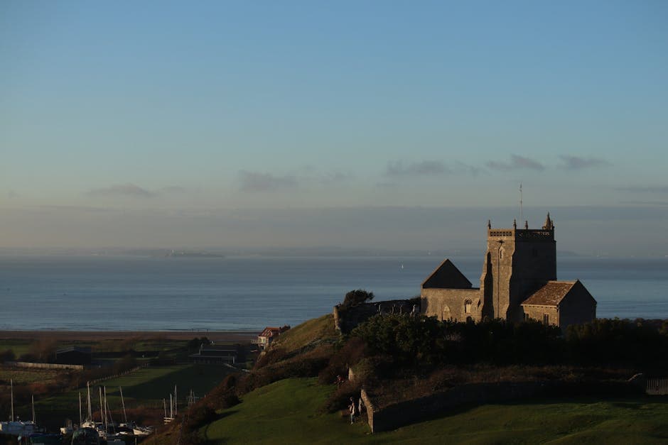
At the Hengistbury Head end, the views across Christchurch Harbour and south towards the Isle of Wight are exceptional. The site is a Site of Special Scientific Interest (SSSI) managed jointly by BCP Council and the Dorset Wildlife Trust. Evidence of human activity here dates back 12,500 years.
Walk 5: Hengistbury Head circular
Distance: 2.5 miles circular Time: 60–75 minutes Difficulty: Easy Surface: Compacted earth and grass paths Pushchair/wheelchair: Most routes accessible; land train alternative for those unable to walk Start point: Hengistbury Head car park, Harbour Road, BH6 4EN
The compact Hengistbury Head circular is one of the best short walks in the Bournemouth area and entirely separate from any involvement with the seafront. Park at the Hengistbury Head car park (or take the 1b bus from Bournemouth to Southbourne, then walk 10 minutes), follow the main path to the tip of the head, then return via the harbour-side path with views across Christchurch Harbour.
The route passes through open heathland (Dartford warblers, common lizards, and sand lizards in summer), through coastal scrub, and finally along the narrow shingle spit tip. The land train, a small tourist tractor, runs along the main path for those who cannot walk the route on foot.
See our Hengistbury Head detailed guide for more detail on the Mudeford ferry, the nature reserve, and the full walking options.
Are there any good cliff walks near Bournemouth?
Walk 6: Chine-to-chine clifftop walk
Distance: Variable, 1 to 4 miles depending on start and finish Time: 30 minutes to 90 minutes Difficulty: Moderate (involves descending and climbing chines, which are steep) Surface: Clifftop path (paved or compacted earth), chine paths (steep, sometimes loose) Pushchair/wheelchair: The clifftop path is accessible; chine descents are generally not Start point: Any clifftop access point between Alum Chine and Boscombe Chine
The clifftop above West Cliff connects the various chines by a path running along the cliff edge. Walking from chine to chine, descending one, walking the beach between, and climbing the next, creates a varied route that alternates between open clifftop, wooded ravine, and beach.
The best section for this walk is Alum Chine to Durley Chine: two of the most distinctive chines, with woodland, stream beds, and beach access, connected by a 10-minute clifftop walk with good sea views.
For those interested in day trips to more dramatic cliff scenery, Old Harry Rocks near Studland (a 30-minute drive from Bournemouth) offers a spectacular chalk stack cliff walk. Durlston Country Park above Swanage is another exceptional option within an hour of Bournemouth, with limestone cliff paths and excellent sea views to the Isle of Wight.
Which Bournemouth walks are suitable for pushchairs and wheelchairs?
The following routes are suitable for pushchairs and most wheelchair users:
Fully accessible:
- The full seafront promenade (7 miles, flat, paved)
- Pier to Boscombe promenade walk (Walk 1 above)
- Lower Gardens section of the Bournemouth Gardens walk
- Most of the Central and Upper Gardens (a few steps avoidable with alternative paths)
Mostly accessible (some sections may require short detours):
- Hengistbury Head main path (the land train provides an alternative for those unable to walk the surface)
- Southbourne promenade section
- Boscombe promenade
Not accessible to pushchairs or wheelchairs:
- Any chine descent or ascent (steep, narrow, often uneven)
- Hengistbury Head heathland off-path sections
- Cliff zig-zag paths
The land train at Hengistbury Head is specifically designed for visitors who cannot manage the walk. It runs along the main track from the car park to the head and back. It is a legitimate way to experience the peninsula rather than a consolation option.
Where can you walk in the New Forest from Bournemouth?
The New Forest National Park boundary begins approximately 20–25 minutes by car from central Bournemouth. Three walks are within reach as half-day excursions:
Walk 7: Rhinefield Ornamental Drive
Distance: 2–3 miles depending on route taken Time: 60–90 minutes Difficulty: Easy Surface: Well-maintained paths through managed woodland Pushchair/wheelchair: Mostly accessible Driving time from Bournemouth: 25–30 minutes Parking: Rhinefield Ornamental Drive car park, SO42 7ZG
The Rhinefield Ornamental Drive is the most visually dramatic short forest walk accessible from Bournemouth. The route follows an avenue of exceptionally tall Douglas firs, redwoods, and other conifers planted in the Victorian era. The tree canopy at full height is among the most impressive in England. Follow the Tall Trees Trail from the car park (leaflets available on site).
Walk 8: Bolderwood to Knightwood Oak
Distance: 2.5 miles circular Time: 60–75 minutes Difficulty: Easy Surface: Well-maintained gravel and compacted earth paths Pushchair/wheelchair: Accessible Driving time from Bournemouth: 30–35 minutes Parking: Bolderwood car park, SO43 7GQ
This circular walk connects the Bolderwood Deer Sanctuary (where fallow deer can be observed from a platform in season, typically May to September) with the Knightwood Oak, reputedly the oldest oak tree in the New Forest at approximately 500 years old. The forest between is classic New Forest: open wood pasture, ancient trees, and the ever-present possibility of free-roaming New Forest ponies crossing the path.
The walks above range from the flat and easy (fully accessible promenade routes) to the more demanding full coastal walk to Hengistbury Head. Every route described has been walked by our team and checked for the accuracy of the distance, surface, and accessibility information.
For guests who want to combine walking with other activities, our apartments near the best walking routes across all four neighbourhoods give convenient access to different parts of this list. Town centre locations suit walks 1, 2, and 3. Southbourne locations are best placed for walks 4 and 5.
For a New Forest day trip guide including driving routes, additional walk suggestions, and other Forest destinations, see our full day trips article.
Walk from Your Front Door
Our apartments in all four Bournemouth neighbourhoods put you within easy reach of the seafront, gardens, and clifftop paths. No car needed for any of the walks in this guide starting from central Bournemouth.
Browse Properties